MAIN STORY
Three fire fronts under one dangerous weather pattern
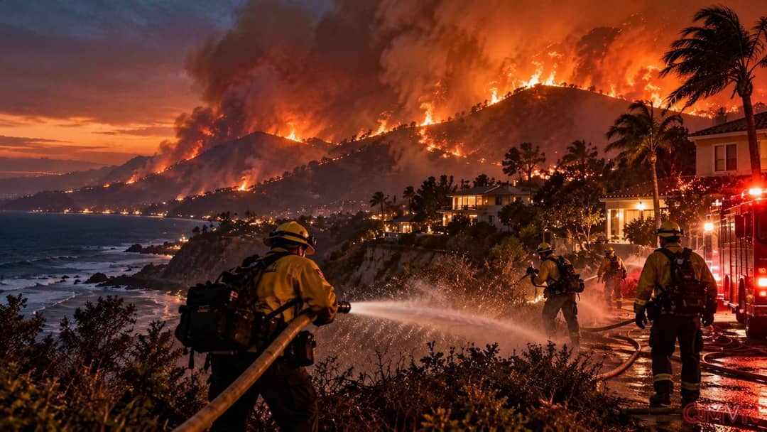
By the evening of October 15, the Bryson Fire near Encinal Canyon Road in Malibu had expanded to around 200 acres, or 81 hectares, according to the AP account at the time. A dark plume rose above the hills and could be seen miles away. Evacuation orders and warnings covered parts of the Santa Monica Mountains, while a Los Angeles County juvenile detention and rehabilitation center was evacuated. Acreage figures remain snapshots of a moving incident and can shift as agencies update their mapping.
In Azusa, north of Los Angeles, approximately 200 firefighters tackled a brush fire that burned more than 40 acres. Fire officials reported stopping its forward progress by midafternoon, allowing some evacuation orders to be reduced to warnings. Farther south, a blaze at Camp Pendleton burned more than 1.5 square miles, threatened structures, interrupted power in the Las Pulgas area and briefly closed a portion of Interstate 5. Evacuation orders on the base were subsequently lifted.
Preventing an ignition by switching off the lights
The threat was not limited to fires already burning. The National Weather Service forecast Santa Ana winds flowing from inland areas toward the coast at 20–40 miles per hour, with gusts reaching 50–70 miles per hour in some mountain areas.