MAIN ARTICLE
Mapping the ground before opening new mines
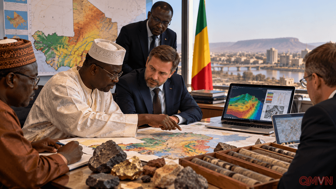
Mali’s Ministry of Mines signed the arrangements with Zarubezhgeologia, the international project arm of Rosgeologiya. One agreement calls for medium-scale geological mapping of two areas comprising more than half the country’s territory. The work should identify zones suitable for further prospecting, rather than certify the existence of commercially recoverable deposits.
Reliable geological information matters because mining exploration demands large investments and can take years before a viable resource is established. Standardized maps help researchers compare rock formations, help companies price exploration risk and allow authorities to plan land use and potential environmental safeguards. These benefits depend on the quality of the underlying measurements and their interpretation.
A digital map is a beginning, not a mine. Field surveys, laboratory testing and independent validation are required before a promising geological indication becomes a credible resource estimate. Even then, transport infrastructure, financing, permits, community consultation and environmental assessments determine whether any operation can proceed.
Mapping scope: two areas covering more than half of Mali.
Management platform: geological data, permits and mining oversight.