MAIN CONTENT
Understanding the depth of the voyage
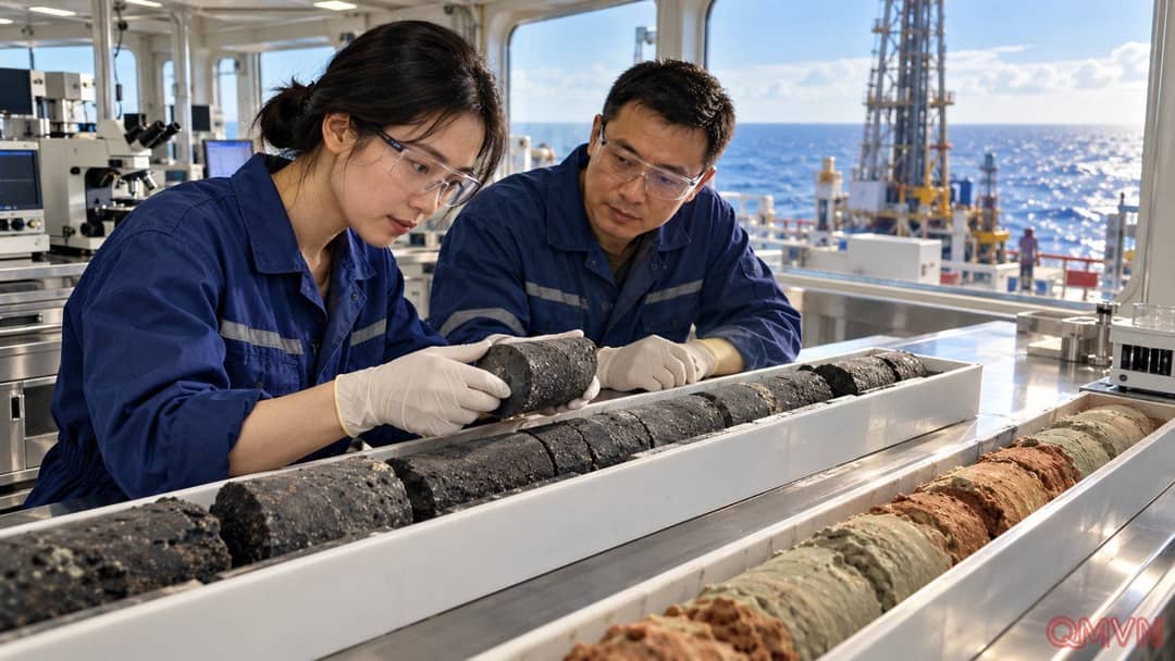
Organised by the China Geological Survey and operated by the Guangzhou Marine Geological Survey, the expedition drilled and sampled at two sites. Science and Technology Daily, as cited by the South China Morning Post, described the maximum depth as a national scientific drilling record. The achievement tests capabilities at sea while providing material for work that continues after the vessel returns.
The figures of 4,929 metres and 865 metres use different reference points. The first is measured from the sea surface; the second describes penetration beneath the seabed. They do not mean the ship drilled almost five kilometres into Earth’s crust. Keeping the reference points clear also reveals the challenge: equipment must pass through a deep water column before collecting material from the geological layers below.
Mengxiang’s stated design capacity of 11 kilometres below sea level is likewise different from its achievement on this voyage.