MAIN CONTENT
Rainfall overwhelms familiar routines
By Friday, flood watches and warnings extended roughly 200 miles along the Atlantic side of Florida, from south of Melbourne toward Jacksonville. Forecasters expected a further 2 to 6 inches through Saturday, with isolated areas potentially receiving 8 to 10 inches. The additional rainfall was a forecast, not a measured total, but it threatened neighborhoods where saturated ground and drainage systems already had little capacity left. Waterlogged roads and abandoned cars offered a visible measure of the disruption.
At Melbourne, residents described repeated inundation only weeks apart. For families, a flood is not simply a line on a weather map: it may mean returning to a damaged home, replacing essential belongings and deciding whether another evacuation is necessary. The National Weather Service cautioned that unusual locations could flood, a reminder that familiar routes and assumptions become unreliable when rainfall accumulates over several storm cycles.
A river record creates a longer emergency
Near Cocoa, the St. Johns River rose beyond its 1953 high-water benchmark. The National Weather Service warned that major flooding could persist into the following week.
Unlike a brief flash flood, a broad river system can continue rising as runoff arrives from upstream, even as skies begin to clear. In communities beside the river, an improving daily forecast therefore does not necessarily mean an immediate return to safety.
Brevard County first responders conducted nearly 100 high-water rescues, according to the sheriff. Some Palm Bay residents faced mandatory evacuation, and shelters opened for displaced households. At the Blue Lake Equestrian Center in Cocoa, volunteers used trailers and crossed deep water to move horses and other animals to safer pasture. Florida also mobilized nearly 200 National Guard personnel and 50 high-water vehicles, alongside other state agencies.
The threat travels along the coast
Meteorologists were monitoring a nontropical low-pressure area that might acquire tropical or subtropical characteristics offshore. Such development remained uncertain on Friday. Whether or not the system received a storm name, forecasters warned of strong winds, dangerous surf, rip currents and coastal flooding along parts of the southeastern and mid-Atlantic United States coast into early the following week.
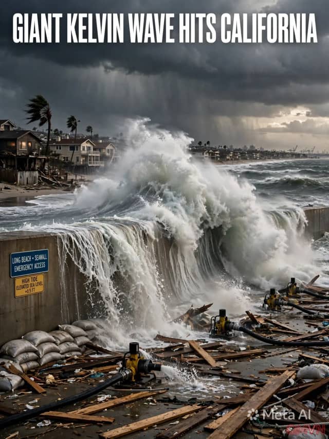
The same expansive weather pattern had also brought flooding to California, where motorists abandoned vehicles and landslides closed a section of coastal Highway 1. These geographically distant episodes were not identical disasters, but both showed how sustained moisture can turn ordinary travel corridors into dangerous places. Residents in threatened areas were urged to follow local emergency instructions and avoid driving through floodwater.
The meaning of preparedness after repeated floods
Forecasters connected the persistent Florida pattern to high pressure over Virginia and a low-pressure system and stationary front near the Gulf, funneling moist air onshore. El Niño can influence such large-scale weather arrangements, but it does not by itself explain the precise outcome at any individual address. The distinction matters when translating broad climate patterns into local warnings and household decisions.
The priority now is not only how much more rain will fall, but where water will collect and how long it will remain. Rescue crews, local authorities and families must plan for overlapping hazards: flooded rivers, damaged roads, vulnerable housing and a possible coastal storm. Reliable, frequently updated forecasts remain more useful than treating any single rainfall record as the final word on the emergency.