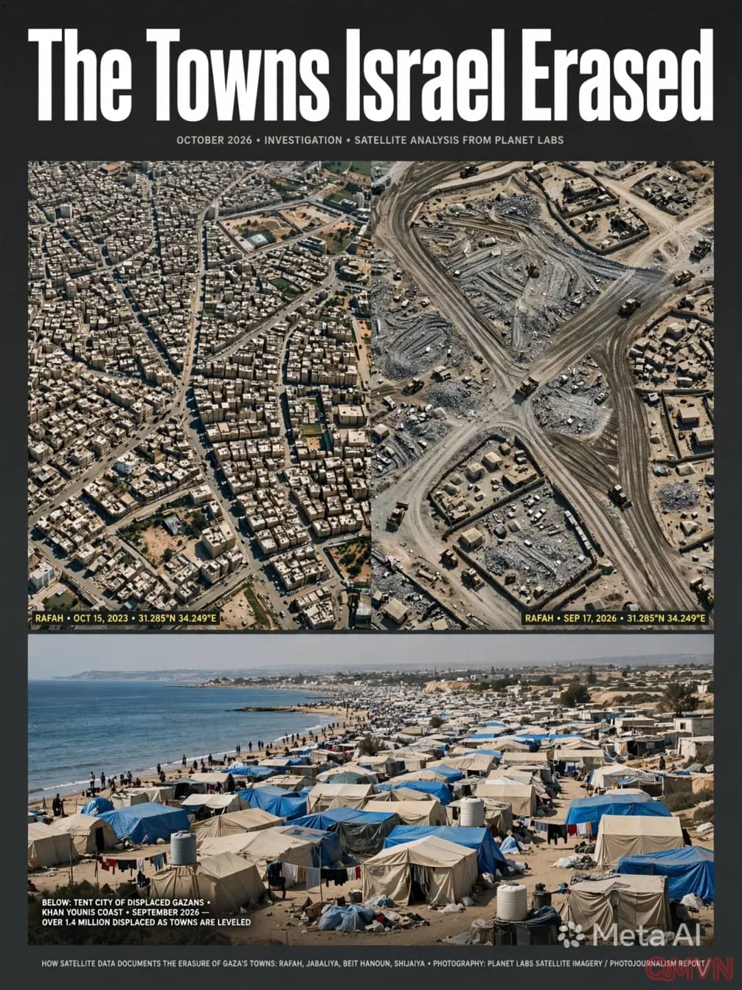
Geospatial Documentation of Urban Disintegration in Jabaliya
Comparative multi-temporal satellite captures released by Planet Labs PBC record the progressive physical erasure of the Jabaliya district and its historic refugee sanctuary. High-rise apartment complexes, vital commercial streets, school compounds, and community hospitals that stood intact on October 15, 2023, have been utterly pulverized into barren moonscapes.
By mid-September 2026, architectural density in the municipal sector had diminished by more than 80%, transforming one of the most densely populated habitats on earth into an uninhabitable wasteland incapable of sustaining human life:
The speed and extent of the structural destruction across northern Gaza is unlike anything captured by satellite observation in modern warfare; entire communities have not merely been damaged, but completely eliminated.
Systemic Decimation of Essential Civilian Infrastructure
Far beyond private residential devastation, sustained military bombardments systematically dismantled the vital municipal lifelines across the Gaza Strip. Remote sensing data confirms that wastewater treatment centers, emergency generators, and medical complexes have suffered irreversible destruction.