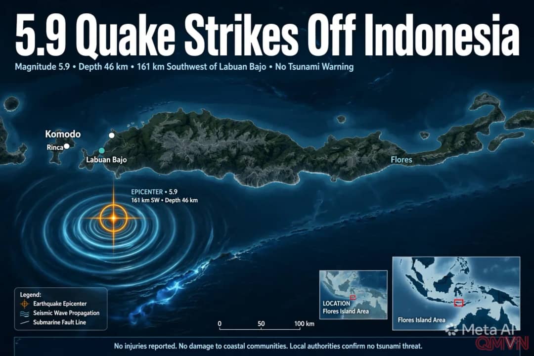
A moderate quake beneath the sea
According to the EMSC, the earthquake's epicentre was located far offshore, more than 160 kilometres from Labuan Bajo, and its focus lay 46 kilometres below the surface. Initial reports from the area indicated no injuries or structural damage, and authorities did not issue any tsunami alert. Figures from different monitoring agencies, including Indonesia's own meteorology and geophysics agency, BMKG, may differ slightly as data are reviewed.
Distance and depth worked in the region's favour. Seismic energy weakens as it travels, so a quake of this size far out at sea generally produces only light to moderate shaking on land. A depth of several dozen kilometres also tends to spread the shaking over a wider area while reducing its intensity at any single point. For tsunami warnings, agencies look for larger, shallower ruptures capable of displacing large volumes of seawater.
A region still recovering
The tremor came less than two months after one of the strongest earthquakes recorded worldwide this year. On August 15, a magnitude 7.7 quake struck the Flores region at a shallow depth, triggering a tsunami warning and a series of strong aftershocks. Reports at the time described the scale of the damage: