MAIN STORY
Two survey areas, two kinds of geological questions
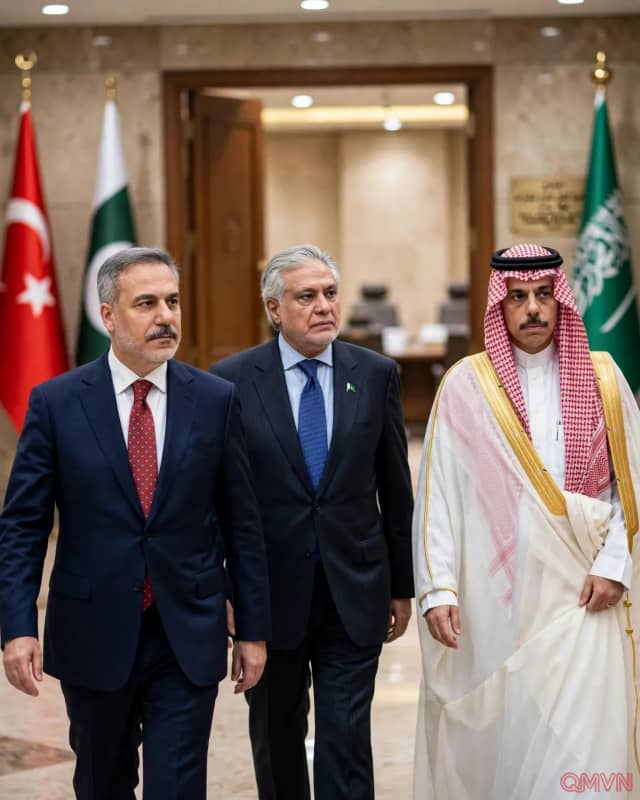
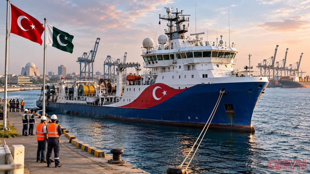
The docking at Karachi turns an expanding partnership from diplomatic commitments into visible work at sea. Türkiye’s energy ministry confirmed the ship’s arrival on November 19 and announced a reception for November 20. Once logistical checks, equipment preparations and maritime safety arrangements are complete, the vessel is expected to deploy offshore. Its assignment combines a focused survey near Karachi with a wider reconnaissance effort farther along Pakistan’s coast.
The first stage, the Marjan 3D Seismic Project in Indus-C, will cover 670 square kilometres. Three-dimensional measurements can help geoscientists model sedimentary layers and identify structures that might trap hydrocarbons. The later Makran 2D Seismic Project covers 2,353 kilometres of survey lines, useful for mapping broader geological patterns. These figures describe different measurements—area for the 3D project and line length for the 2D project—not comparable estimates of oil or gas resources.
Why a seismic vessel matters before any drilling
Oruç Reis is a research ship, not a production platform or drilling rig. Specialized instruments generate acoustic signals and measure their reflections from layers beneath the seabed. Processed recordings allow geologists to assess where expensive follow-up investigation might be justified.