Record land destruction and expanding transboundary pollution emergencies
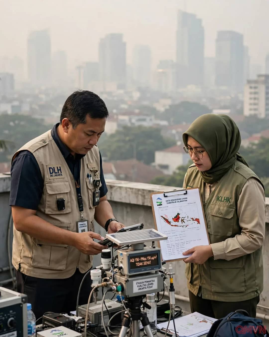
Satellite analytics compiled by deforestation tracker Nusantara Atlas revealed that cumulative burned territory in Indonesia expanded exponentially from 895,650 hectares recorded in August to 1.92 million hectares (approximately 4.74 million acres) by the conclusion of September. This destructive trajectory has formally surpassed the 1.39 million hectares burned at the equivalent seasonal juncture during the historic 2019 crisis, an infamous year that ultimately witnessed 2.63 million hectares reduced to ash.
By October 20, the monitoring index identified an alarming 1.15 million active thermal fire hotspots dispersed across the Indonesian archipelago.