MAIN ARTICLE
An emergency scenario built around difficult terrain
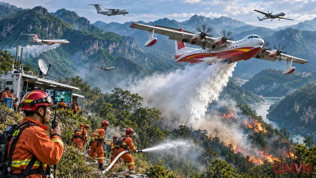
Organizers placed the simulated disaster in Xinglong town, Fengjie, where karst cliffs, narrow valleys and sharp changes in altitude make firefighting exceptionally demanding. Under a hypothetical spell of heat and drought, flames threatened forested slopes and nearby communities. The exercise was not simply a demonstration of individual aircraft: it followed the sequence of detecting danger, activating local first responders, reinforcing municipal teams, bringing in national support, containing hotspots and securing the area after the main fire had passed.
The emergency ministry reported 30 practical tasks spread over five operational phases. More than 150 major pieces of equipment accompanied the air fleet and ground command posts. Such sequencing can expose bottlenecks that polished flyovers conceal. Who authorizes an aircraft to change direction? Which communications channel carries thermal imagery? How quickly can a ground crew translate a newly identified fire coordinate into action before the wind shifts? These are organizational questions as much as technological ones.
Eyes in the sky and aircraft that deliver water
The Wing Loong II and Twin-Tailed Scorpion, aircraft better known for long-range surveillance and military reconnaissance roles, were assigned observational functions in the wildfire scenario. Infrared sensors and real-time imagery can help command centers identify hotspots obscured by smoke, estimate the direction of fire spread and decide where personnel are urgently needed.