MAIN STORY
An unusually quiet day across a busy island
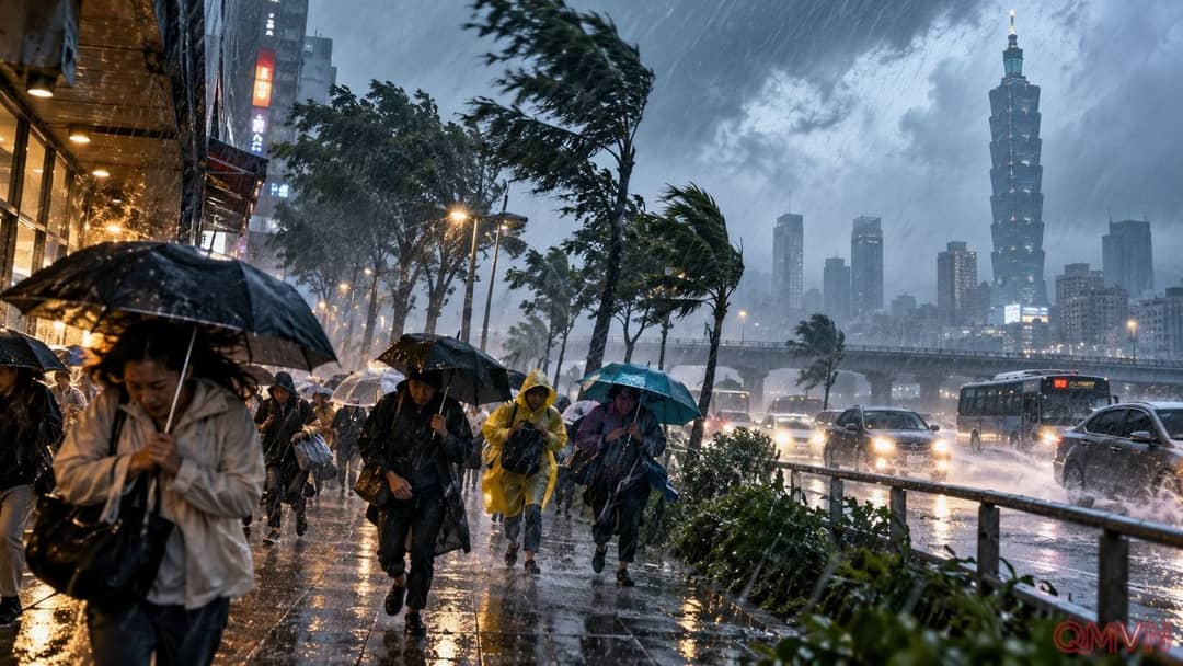
In Taipei, squalls and intermittent downpours offered a visible warning of the approaching cyclone. Some public transport continued, including metro services at reduced frequency, even as government offices, schools and financial markets closed. Such preventive pauses limit the number of people exposed on roads and at outdoor workplaces when conditions may deteriorate rapidly.
Kinmen, a Taiwan-administered island group near the Chinese mainland, remained the notable exception to widespread closures. That distinction does not mean the weather risks were identical everywhere: exposure depends on local geography, wind direction and official forecasts. Residents therefore need district-specific notices rather than assuming a single storm classification describes conditions across the entire region.
Hundreds of cancelled flights ripple through the region
Taiwan’s transport ministry reported the cancellation of all 262 domestic flights for Friday, alongside more than 350 international flights. The combined total exceeded 600, disrupting connections, holidays, family visits and business travel.
Cancellation figures are a snapshot, however, and schedules can change further as weather agencies and airlines reassess conditions.
The consequences extended across borders. Thailand’s official government website published Thai Airways cancellations affecting Bangkok–Taipei and Bangkok–Kaohsiung routes on October 23. Airlines serving Okinawa were also adjusting flights, while Delta offered change-fee relief for eligible travel involving Taipei and Shanghai between October 22 and 24. Travellers should verify their status directly with the operating airline rather than relying solely on older itinerary notifications.
A weakening cyclone can still be dangerous
Reuters reported on October 23 that Champi lay around 330 kilometres east of Taiwan’s southern tip. Gusts near its centre were still approximately 191 kilometres per hour. With a circulation radius around 320 kilometres, the system could spread hazardous conditions far from its centre. Avoiding a direct landfall therefore would not necessarily spare the island from substantial disruption.
A Central Weather Administration briefing covered by Taiwan’s CNA on October 22 highlighted heavy rain, powerful winds and coastal hazards, especially in the north and east. Forecasters warned effects could continue for nearly two days. Steep mountainous terrain makes accumulated rainfall particularly consequential: landslides and flash flooding may remain a concern even when the cyclone begins to move away.
The next turn points toward Japan
The projected track described by Reuters took Champi past northeastern Taiwan before turning north near the Chinese coast and ultimately towards southern Japan. Yonaguni, the westernmost inhabited Japanese island in Okinawa Prefecture, was expected to be an early point of exposure on the storm’s approach toward Japan.
Storm tracks are projections, not promises, and can change with new observations. For emergency managers, the challenge involves rainfall duration as much as headline wind speed: keeping roads accessible, protecting vulnerable residents and restoring flights, schools and supply routes. Temporary closures carry immediate economic costs, but may prevent far greater human and operational losses.