MAIN ARTICLE
One storm, two regional terms
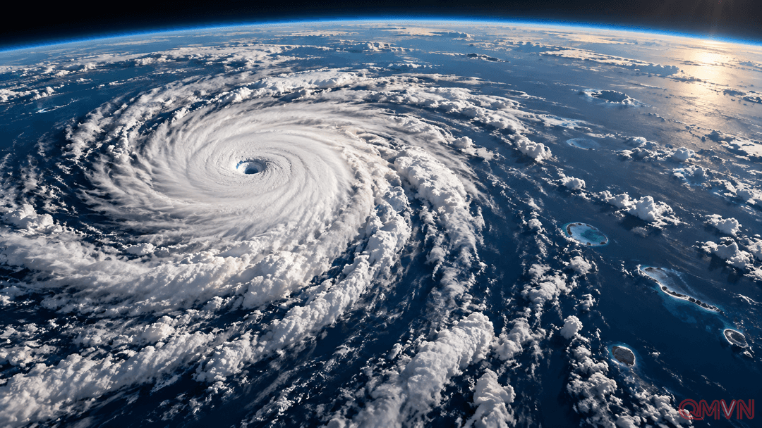
At 2100 UTC on October 4, Nolo’s center was near 24.2 degrees north and 180.0 degrees east, on the international date line. The National Hurricane Center estimated central pressure at 959 millibars and maximum sustained winds of 115 mph, with the storm progressing nearly due west. The agency issued its final advisory because the storm had reached the edge of its area of responsibility, not because the cyclone had dissipated.
Hurricane is the conventional label in the Atlantic and eastern and central Pacific, whereas typhoon is used for intense tropical cyclones in the northwestern Pacific. Both describe the same type of weather system and similar wind thresholds. The terminology marks regional forecasting practice, not a physical transformation in a storm’s circulation.
A powerful system over open water
Nolo had already followed an uneven trajectory of intensification. After passing near Hawaii, it lost hurricane status for a time, then regained it on October 2.