MAIN ARTICLE
A holiday journey meets a coastal warning
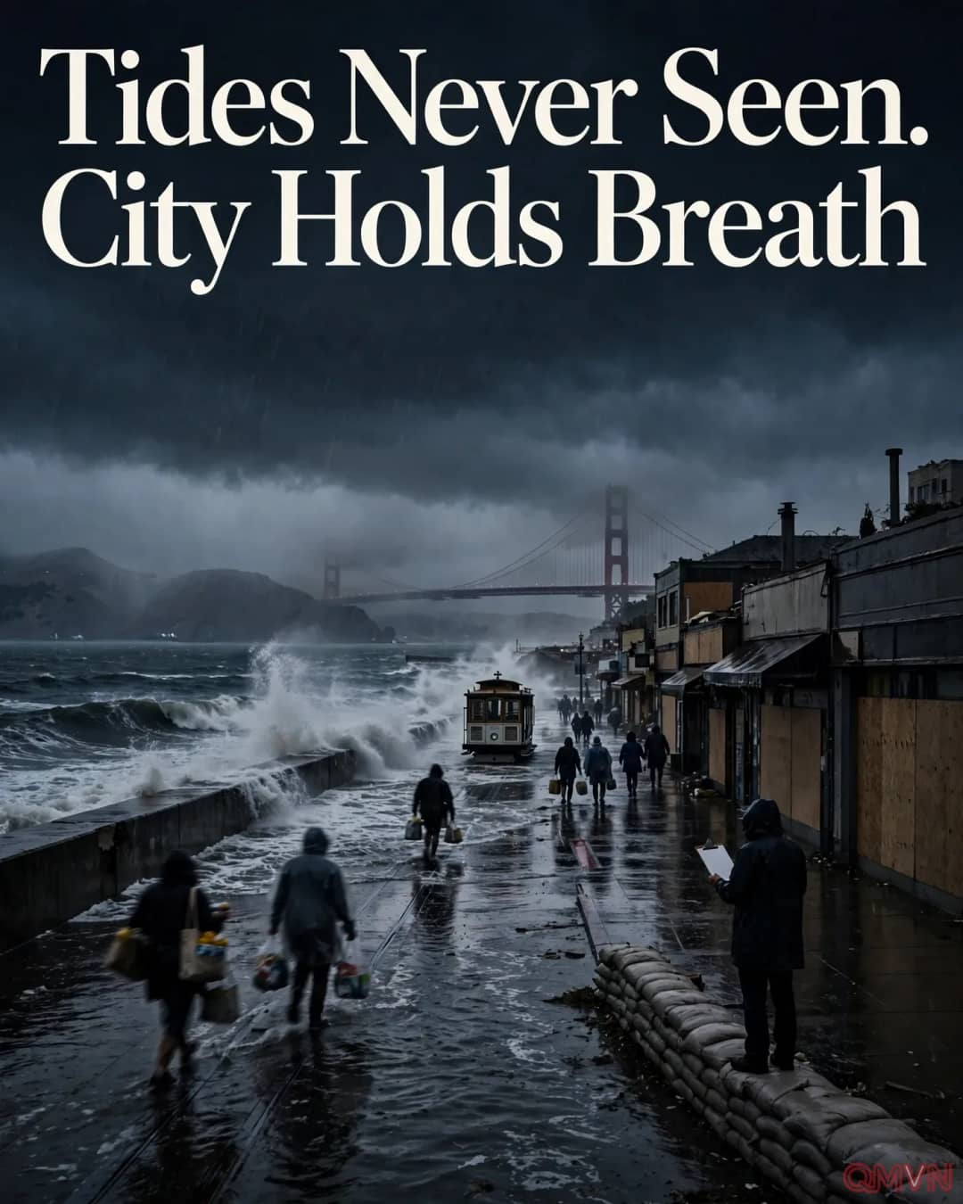
The most immediate concern in San Francisco is timing. The city’s warning arrives before one of America’s busiest travel periods, when road trips, airport connections and family visits become difficult to reschedule. Lurie urged residents to reconsider travel that is not essential from Monday afternoon into Wednesday. This is a precaution based on the forecast, not an announcement that every neighborhood will flood. For travelers, the relevant question is whether a route crosses exposed low-lying streets or coastal approaches at the same time as a predicted high tide.
Local officials have described preparations involving emergency coordination, public outreach and flood barriers. These measures may limit damage, but barriers are not a guarantee when water rises from several directions. The heaviest consequences can occur around bayfront businesses, waterfront roads and drainage outlets whose discharge is impeded by elevated tides. People well away from the immediate shoreline may still experience detours and interruptions because transport links and utilities connect the wider city.
Why a king tide becomes a flood
A king tide is an informal name for exceptionally high astronomical tides, produced by the relative positions of the Earth, moon and sun. On its own, a high tide does not automatically constitute a disaster.
The threat intensifies when weather systems add wind-driven surge, waves or heavy rain, while already elevated sea levels reduce the capacity of coastal drainage. The result can be water flowing into places that usually remain dry, including during periods when rain appears modest.
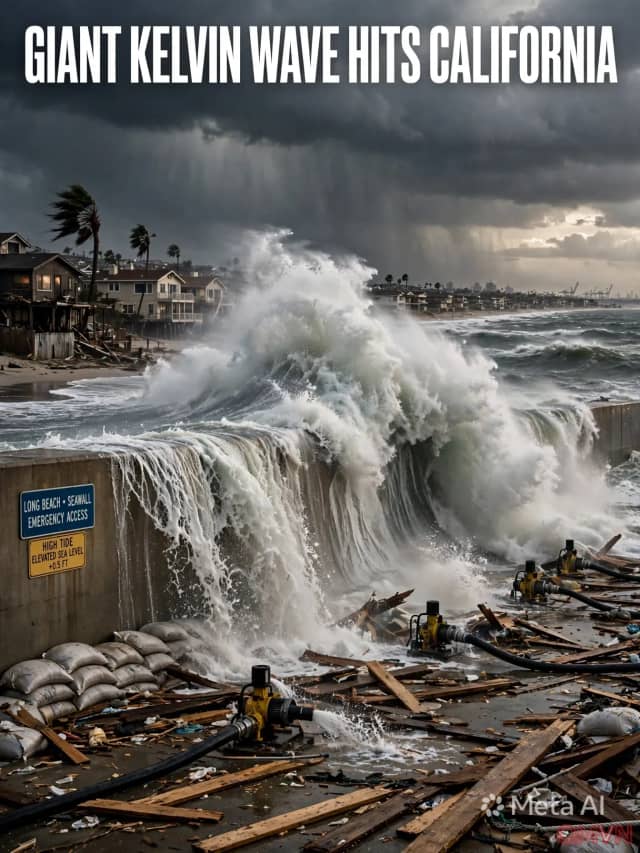
The National Weather Service has warned of unusually severe coastal flooding during Thanksgiving week. Its outlook identifies a combination of king tides, storm effects and warm-water-related sea-level elevation in an El Niño-influenced Pacific. Such compound flooding matters because different hazards can peak together. An impressive photograph of waves may convey the danger, but the practical indicators are local tide forecasts, flood advisories, evacuation instructions and real-time road conditions.
Florida illustrates the long tail of flood damage
Across the country in Florida, the emergency has followed a different chronology. Intense rain earlier in the week flooded parts of the Atlantic coast, trapping some residents in inundated areas. By Saturday, scattered showers were continuing even as the strongest precipitation had passed. Weather forecasters expected the St. Johns River to stay swollen, showing why a flood may worsen or persist long after skies brighten.
Near Cocoa, the river exceeded a water-level record dating to 1953, according to the Associated Press account. Meteorologist Melissa Watson warned that river flooding could continue for an extended period even without substantial additional rain. Along the Atlantic shoreline, marine alerts also highlighted thunderstorms, potentially dangerous waterspouts, rough surf and rip currents. Florida’s situation should not be conflated with California’s tidal forecast: the mechanisms and immediate risks differ, although both reveal the difficulty of managing water across connected landscapes.
Preparation must be local and proportionate
Residents should distinguish between a broad regional warning and the risk at a specific property. The right response begins with official alerts, local flood maps and travel advisories. People in flood-prone areas can move vehicles from low spots, protect essential medicines and documents, charge communication devices and identify a safe destination should authorities direct them to leave. Drivers should not enter flooded roads, where depth and current are difficult to judge.
For business owners and people who cannot avoid travel, decisions should be made around the latest forecast rather than a single dramatic headline. Flexible departure times, alternate routes and checks with local transport operators are sensible precautions. Public agencies, meanwhile, face the harder task of communicating uncertainty clearly: warnings must be strong enough to prompt action without presenting a predicted scenario as an event that has already occurred.