MAIN ARTICLE
The first soaking arrives unevenly
Several weather systems are expected to sweep across California from roughly November 13 to November 17. Rain could reach the North Bay late Thursday, November 12, local time, before spreading through the San Francisco area on Friday and weakening toward Southern California. The first round does not currently suggest widespread catastrophic flooding. Nevertheless, a quick succession of systems could alter that assessment, particularly where runoff begins to accumulate or drainage is blocked.
The northern coast and windward slopes may receive roughly three to six inches, compared with around two inches in the Bay Area and less than one inch near Los Angeles. Geography matters: air forced upward over coastal mountains cools and releases additional precipitation. The moisture will help rivers, reservoirs and dry vegetation after a long warm season. But the first substantial rain can also make roads slippery, while gusts may dislodge weakened tree branches. Commuters should not confuse generally welcome rainfall with an absence of local risk.
Why the shoreline may be the most dangerous place
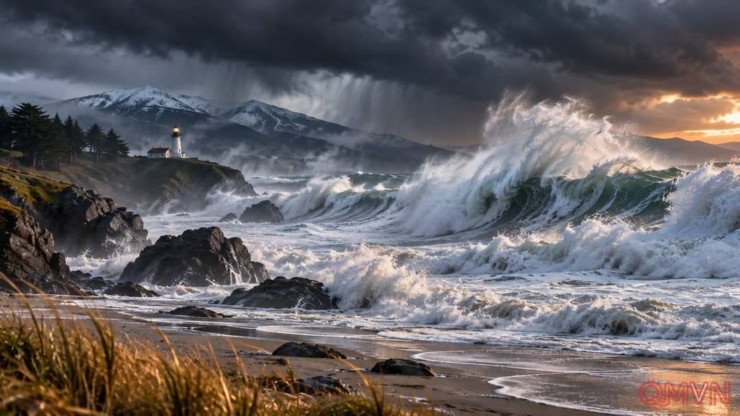
Intense winds over the Pacific generate long-traveling swells that steepen and break as they enter shallower coastal water. Powerful waves may surge onto beaches farther than casual visitors expect, or sweep across rocks and jetties that looked safe moments earlier.