MAIN STORY
Two maps, one unsettling coincidence
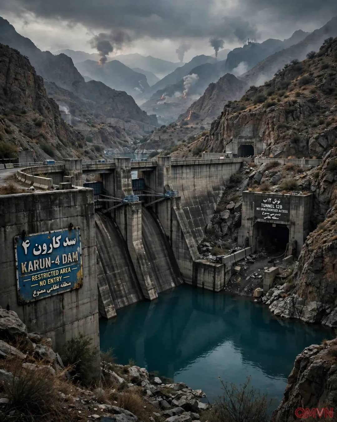
Nima Shokri, a water-security researcher at Hamburg University of Technology, and colleagues have mapped at least 533 dams across Iran. Their scale and distribution have long invited scrutiny because the economic and ecological rationale for every project has not always been obvious. Looking at a map of airstrikes on suspected missile facilities this year, Shokri noticed that numerous targeted districts appeared near the areas he had studied for water infrastructure.
That is a geographic correlation, not a demonstrated causal relationship. Proving that any dam was designed to support a missile base would require procurement records, technical connections, operating data or other independent evidence. Mountainous terrain may independently attract reservoirs and hardened underground facilities. The difference between a suggestive pattern and an established finding is central to understanding this investigation.
Why an underground complex might need independent utilities
Facilities buried in mountains need reliable power for ventilation, communications, lighting, thermal control and technical operations. They also require water for personnel and potentially industrial processes.