Mapping from the air
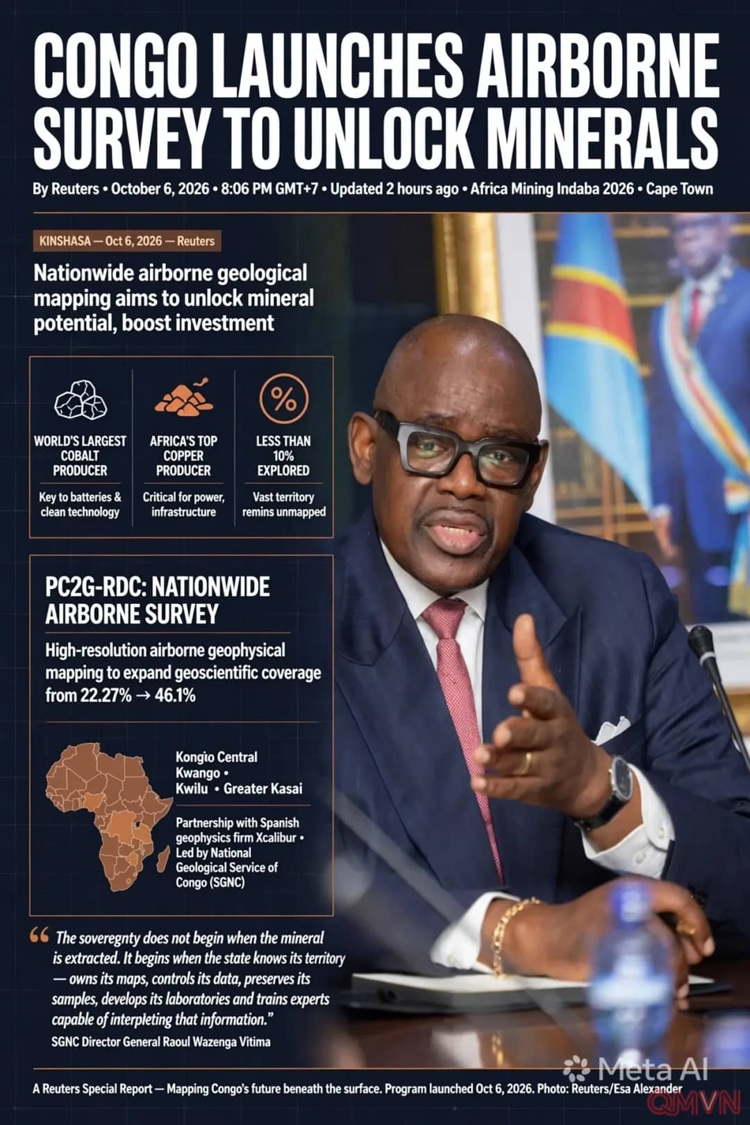
According to Reuters, the SGNC said the PC2G-RDC programme will use high-resolution airborne geophysical surveys to improve knowledge of Congo’s subsurface, help identify areas with mineral potential and expand scientific understanding of its resources.
The programme is being implemented with technical support from Spanish geophysics firm Xcalibur, focusing on Kongo Central, Kwango, Kwilu and Greater Kasai, building on work already done in Greater Katanga.
Untapped potential
The figures show Congo’s vast potential:
- Congo is the world’s largest cobalt producer and Africa’s top copper producer.
- According to officials, less than 10% of its territory has been thoroughly explored.
- The programme will expand geoscientific coverage from 22.27% to 46.1%, according to Mines Minister Louis Watum Kabamba.
Officials said the surveys would modernise existing datasets, identify new prospective areas and strengthen the state’s capacity to plan and negotiate resource development.