A different map of Singapore
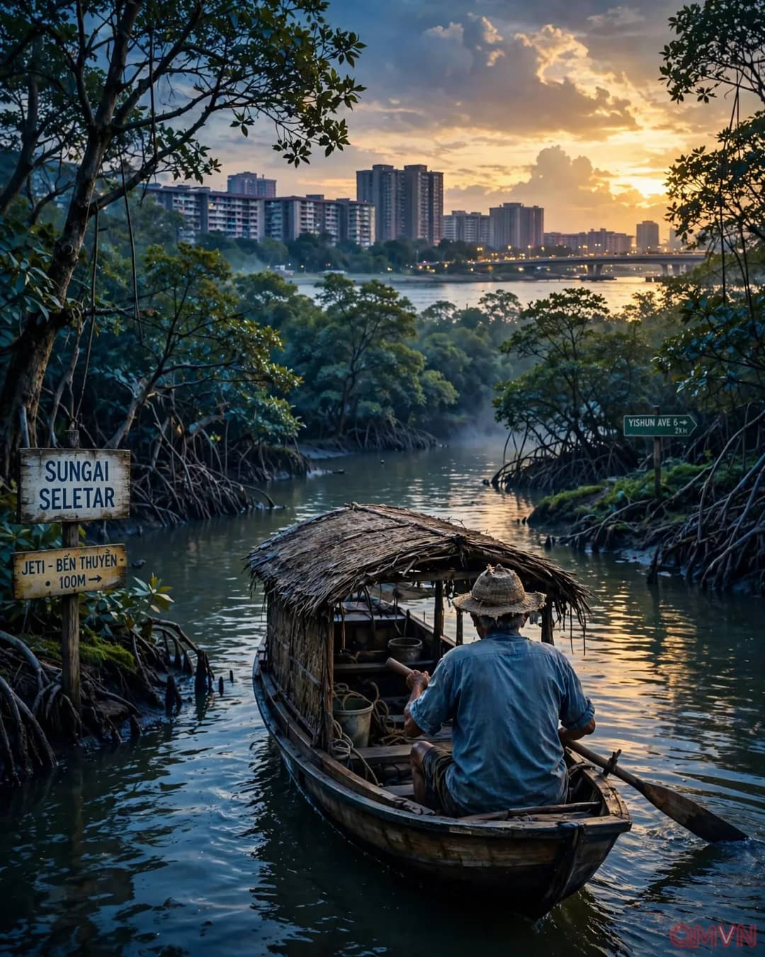
For most Singaporean readers, even those who lived through the era, the map of “Rawa” is disorienting at first. The places its protagonist holds dear include Pulau Seletar, a mangrove island now closed to the public but the namesake of the Orang Seletar and home to sacred sites. His friend Ayong, an Orang Kallang man, remembers Kallang Rokok, an ancestral village on the Kallang River devastated by a smallpox epidemic around 1848.
Even the Causeway linking Johor and Singapore, a convenience for land dwellers, looks entirely different through Ayong’s eyes: it split the strait in two and made life hard for the sea people.
Repeated displacement
Rawa’s life is a series of displacements. Decades ago, he was forced to move to Johor when the Seletar Dam was built. After his wife’s death, he left Kampung Bakar Batu to live with his children on the fourth floor of a 12-storey block in Yishun.