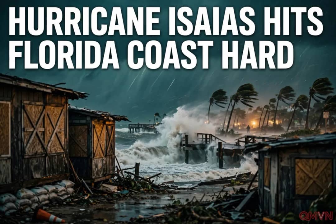
Landfall as a high-end Category 2
According to The Washington Post, Isaias made landfall near Destin late Friday as a high-end Category 2 storm, with sustained winds of 105 mph as its eye crossed the shore, after strengthening to Category 3 earlier. Gusts along the immediate coast could reach 90 to 110 mph, and storm surge would be greatest east of the center, where onshore winds push water inland, possibly reaching 5 to 9 feet. More than 400,000 customers in Florida and Alabama lost power as the storm came ashore.
Governor Ron DeSantis declared a state of emergency in 27 Florida counties, from Citrus County on the west-central coast to Escambia County near Alabama, saying the state was taking the storm very seriously. About 28 million people in the South were under weather alerts, and the tornado threat rose between Panama City and Tallahassee.
The Panhandle takes the first blow
The Florida Panhandle cities of Pensacola, Destin and Panama City were expected to see some of the most dangerous conditions, with gusts around 100 mph, life-threatening storm surge, battering waves, flooding rain and possible tornadoes. The National Weather Service office in Mobile, Alabama, issued a stark warning in its hurricane bulletin.