MAIN ARTICLE
Two maps, one unresolved question
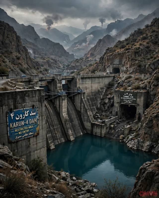
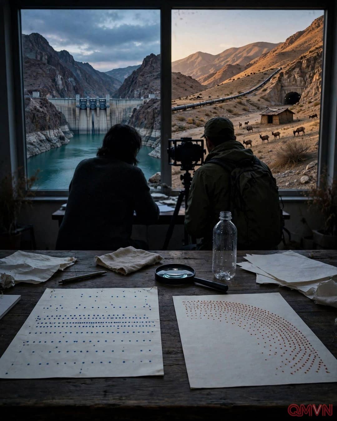
Shokri and colleagues have catalogued at least 533 dams in Iran, an unusually large network by regional standards. While reviewing maps of strikes on suspected Iranian military facilities, he noticed that several target areas followed a broad arc resembling the distribution of water projects. That observation has generated a testable question about planning priorities rather than a conclusive finding about the dams themselves. A national map can conceal major differences in the distance, age, function and capacity of individual facilities.
The apparent overlap also requires caution because mountainous terrain can attract both dam builders and military engineers for different reasons. Valleys offer sites for reservoirs and hydropower; hard rock and remote access offer concealment and protection for underground complexes. A rigorous investigation would need facility-level coordinates, construction dates, hydrological assessments and corroborated evidence of physical connections. Without them, a striking pattern could be meaningful, coincidental or partly explained by geography.
Why a missile complex might need water
Iran describes some fortified underground installations as “missile cities,” used to house missiles, drones and supporting equipment. Defence specialists say facilities of that kind may require reliable electricity, cooling, maintenance water and backup supplies, especially during prolonged conflict.